
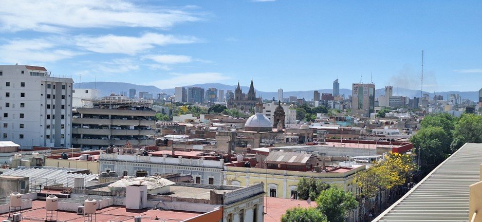
Navigating Guadalajara’s digital landscape
Raul Agraz
As part of Regional Futures, a global project exploring digitalisation across continents, we embarked on fieldwork in Guadalajara, Mexico. From April 16th to 23rd, Prof. Ayona Datta, our principal investigator from University College London, joined our local team. For me, this in-person collaboration following months of virtual meetings, proved motivating. We delved deeper into the project's methodology, employing observations and interviews with a diverse range of local stakeholders.
These interviews targeted representatives from the three levels of government (federal, state and municipal); the private sector, academia and members of the Indigenous Community of Mezquitán, where we focus our case study locally. The most striking takeaway from these interactions was the uneven, yet surprisingly rapid, pace of digitalisation across the Guadalajara Metropolitan Area and its surroundings, a phenomenon I will present briefly in the following sections.

Guadalajara beyond the top-down narrative
Guadalajara has earned its reputation as a national and international hub for digital innovation. Often dubbed as the “Mexican Silicon Valley”; the city hosts annually the Jalisco Talent Land event showcasing cutting-edge advancements in various fields like health, business or entertainment. Guadalajara’s influence extends globally with projects like Visor Urbano, aiming to automate urban development and business processes. However, these initiatives reflect a top-down approach.
Our recent fieldwork sheds light on a unique exception – a ground-level initiative, one of the few of its kind emerging within the city, to the best of my knowledge. The Indigenous Community of Mezquitán is about to undertake a digital land survey project. This initiative disrupts the dominant narrative of top-down digitalisation in Guadalajara. By taking the lead in generating, collecting and managing their own data and information (Snipp, 2016), the Community actively shapes its urban environment and strengthens its internal governance. Studying this firsthand experience will undoubtedly enrich our understanding of such grassroots digitalisation efforts. In doing so, we address Milan and Treré’s (2019) call to examine the diverse ways in which ground-level communities engage in data practices.
Municipal agility and data challenges
This last example of the Community exemplifies the ground level scene of Guadalajara; however, the top-down approach currently struggles with regional and structural disparities. While the Municipality of Guadalajara boasts an impressive progress in digitalisation, our interviews revealed challenges faced by other municipalities in Mexico.
Regarding Guadalajara, one impressive takeaway was the municipality’s agility in digitising procedures. We learned that it took three years for the Municipality of Guadalajara to tackle virtually any new process with a digital solution. Nowadays, this municipality has around 400 digital procedures, whereas in the past only four procedures were digital. The key relies on the data quality to produce useful information for public policies and city management.
However, challenges remain. Interviews with specialists emphasised the significant digital inequalities faced by municipalities nationwide when it comes to land digitalisation, particularly in remote areas. Here, limited or outdated infrastructure make it difficult for digital tools to operate, like uploading data to the cloud or the risks of damage to hardware by natural elements. This situation, in addition to the lack of economic and human resources, hinders Mexican municipalities to transition to a digital cadastre and leverage its advantages. The same specialists highlighted this will not only benefit in terms of revenue generation, but also in planning and development efforts. We also learned that the agro-industrial domain is emerging as a key driver of land digitisation efforts.
This impediment of updating the cadastres makes sense with one remark from another interview. In this case, the interviewees highlighted that communally owned lands in Mexico are more digitised than private lands located in urban areas. This is due to the federal government’s efforts. On another occasion we had the opportunity to learn more about this through the national rural cadastre platform and the online historical registry; both platforms facilitate land management. Municipalities, on the other hand, must build their own systems from scratch.
By exploring both the top-down efforts and the ground-level initiatives like the one undertaken by the Community of Mezquitán, we gain a more comprehensive understanding of the multifaceted digital landscape of the Guadalajara Metropolitan Area, hoping that our future research will deliver a more detailed image of it.
References
Milan, S., & Treré, E. (2019). Big Data from the South(s): Beyond Data Universalism. Television & New Media, 20(4), 319–335. https://doi.org/10.1177/1527476419837739
Snipp, C. M. (2016). What does data sovereignty imply: What does it look like? In T. Kukutai & J. Taylor (Eds.), Indigenous Data Sovereignty (Vol. 38, pp. 39–56). ANU Press.